Las Vegas Industrial & Logistics Real Estate Photography
Corporate Capture Data for Warehouses & Distribution Centers
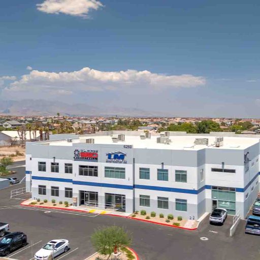
Discover professional corporate capture visual data tailored specifically for the Las Vegas industrial sector. Rick Rowland utilizes over 10 years of commercial real estate experience to capture the operational infrastructure that attracts institutional capital and 3PL logistics tenants. From highlighting 32'+ clear heights and cross-dock capabilities with HDR photography, to mapping truck courts and I-15 access with FAA-licensed drone aerials. We deliver the precise visual assets required to dominate LoopNet, CoStar, CREXI, and premium Offering Memorandums (OMs).
Visualizing the Las Vegas Valley's Premier Logistics Assets
Marketing industrial real estate in Las Vegas demands photography that clearly demonstrates operational efficiency and logistics advantages. From institutional-grade Class A tilt-up facilities featuring advanced dock systems, to highly functional Class B last-mile distribution spaces—each asset class requires a targeted visual strategy. Rick Rowland's background inside commercial brokerage means he understands exactly what capital markets and national tenants are looking for: structural column spacing, heavy power infrastructure, ESFR sprinkler systems, and seamless ingress/egress.
Whether you are listing a modern fulfillment center, a heavy manufacturing plant, or a flexible warehouse space with a spec office build-out, RCRdigital provides a comprehensive corporate capture package. We deliver professional HDR interior photography that properly exposes vast warehouse floors without losing exterior loading dock visibility. We deploy FAA-licensed drone aerials to reveal truck turning radiuses, trailer storage capacity, and proximity to major freight corridors. Finally, our Matterport 3D tours and CAD-compatible floor plans allow out-of-state logistics directors to evaluate the facility remotely. All assets are delivered within 24-48 hours, fully optimized for your OM and CoStar listings.
Class A Industrial & Logistics Assets
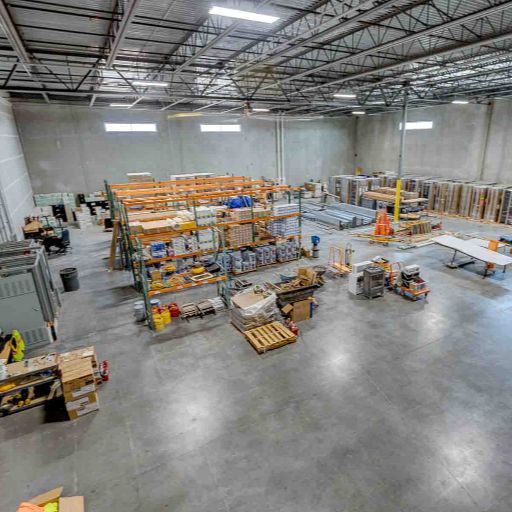
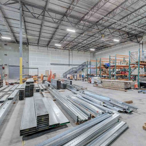
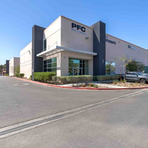
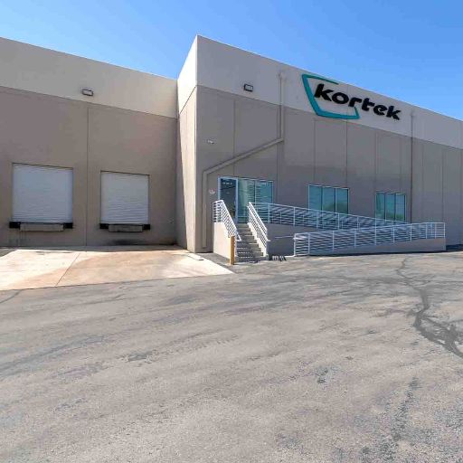
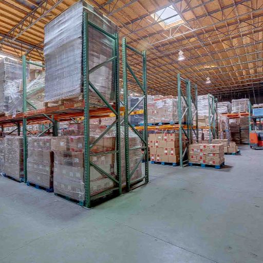
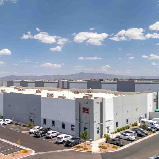
Showcase premium Class A industrial properties with corporate capture photography that emphasizes modern infrastructure and institutional quality. These state-of-the-art distribution centers command top-tier lease rates and attract national 3PL (Third-Party Logistics) tenants. Our comprehensive photography is specifically composed to highlight critical metrics: impressive 32'+ clear heights, cross-dock loading capabilities, expansive truck courts, and ESFR fire suppression systems. Professional HDR photography guarantees the proper exposure of massive tilt-up warehouse interiors, while drone aerials map out the site's logistical flow, staging areas, and critical access to the I-15 corridor.
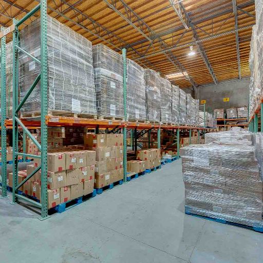
- Documentation of 32'+ clear heights, skylights, and efficient column spacing
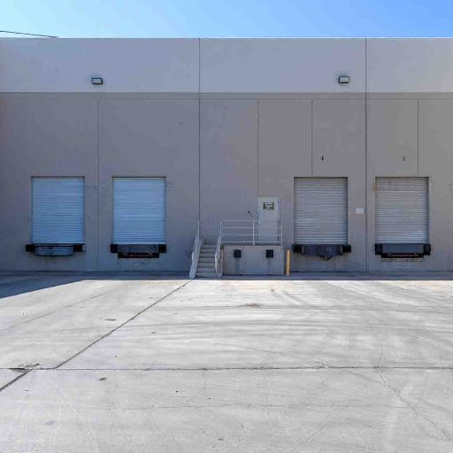
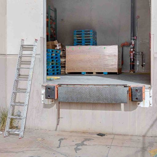
- State-of-the-art dock-high systems, levelers, and cross-docking capabilities
- Highlighting advanced infrastructure: ESFR sprinklers, heavy power, and LED motion lighting
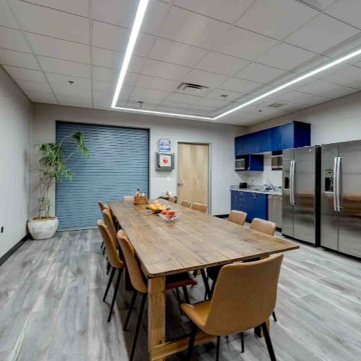
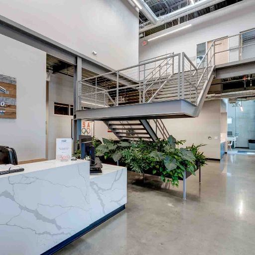
- Professional coverage of Class A spec office build-outs and modern employee amenities
- Strategic drone mapping of I-15, I-215, and major freight corridors
- Visual assets formatted strictly for Offering Memorandums and institutional investor decks
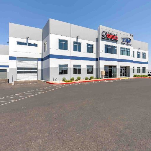
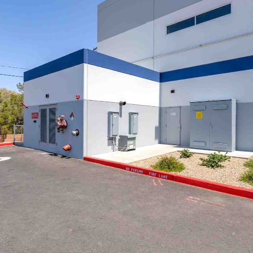
Class A Industrial Photo Examples
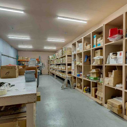
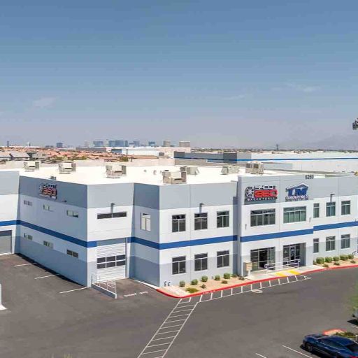
Class B Industrial Photo Examples
Class B Flex & Manufacturing Spaces
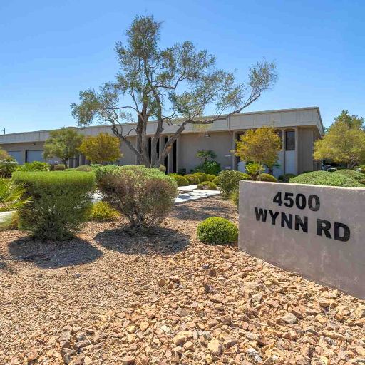
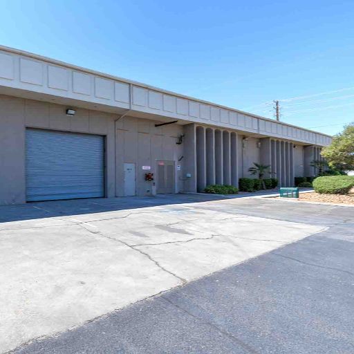
Class B industrial facilities—including established warehouses, heavy manufacturing spaces, and flex business parks—serve as the backbone of the Las Vegas local economy. These properties are highly sought after for last-mile distribution and value-add investment opportunities. Effective photography for this asset class focuses on functional utility and operational flexibility. Our HDR photography captures practical 24'-28' clear heights, reliable grade-level loading doors, and adaptable floor plans that suit a wide variety of industrial uses. Drone aerials are heavily utilized here to showcase established in-fill locations, proving the site's proximity to dense workforce residential areas and established commercial traffic routes.
- Highlighting functional clear heights and versatile warehouse footprints
- Showcasing reliable grade-level and dock-high loading access
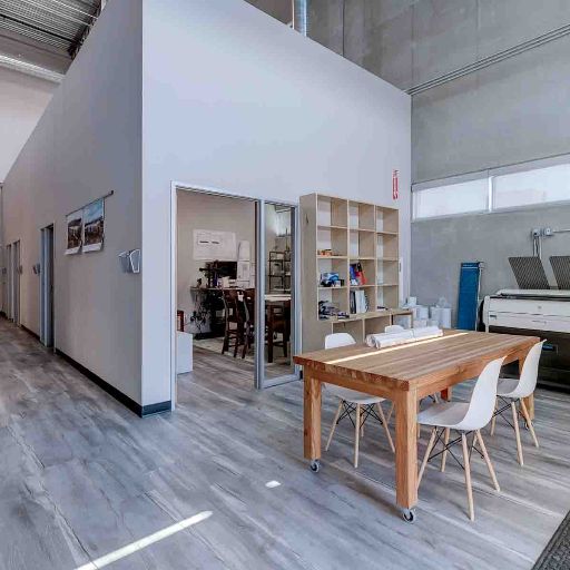
- Flexible layouts suitable for light manufacturing, assembly, or flex showroom use
- Proving the value of established in-fill locations with strong workforce demographics
- Highlighting value-add opportunities for investors and owner-users
- Photography explicitly shot to elevate older assets on LoopNet and CoStar
Corporate Capture Drone Aerials
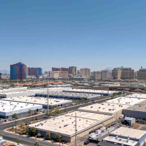
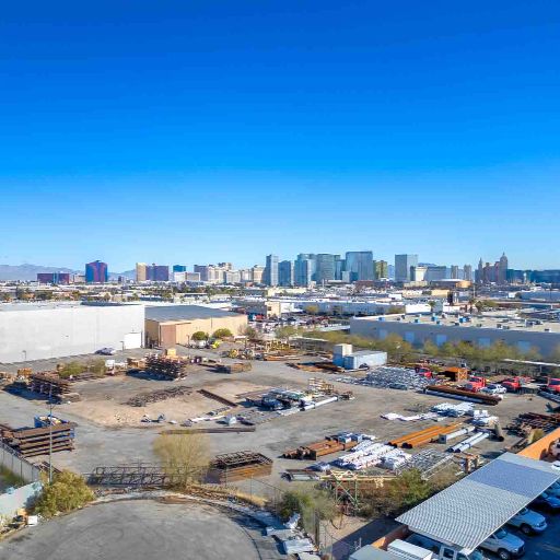
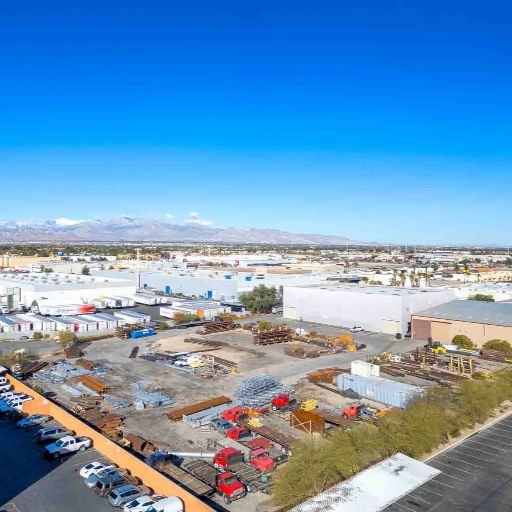
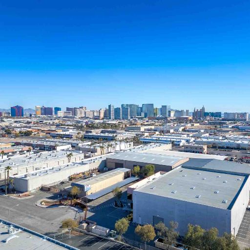
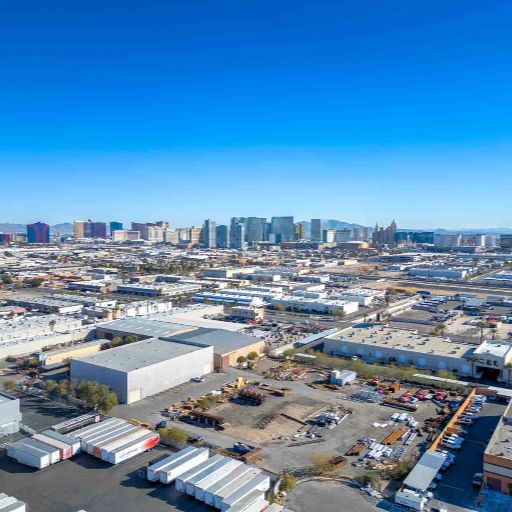
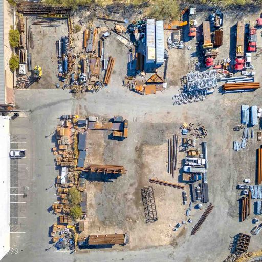
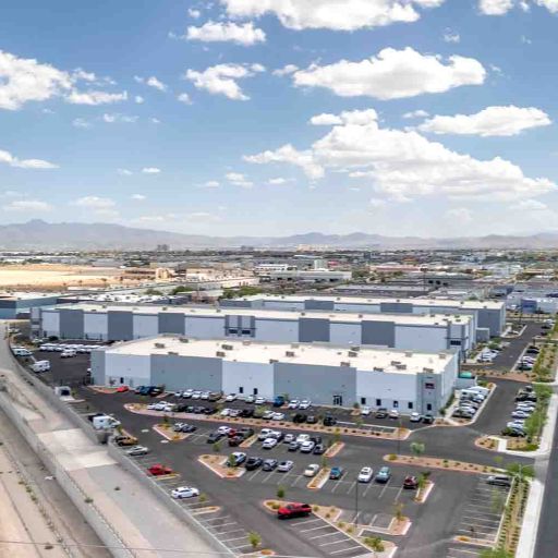
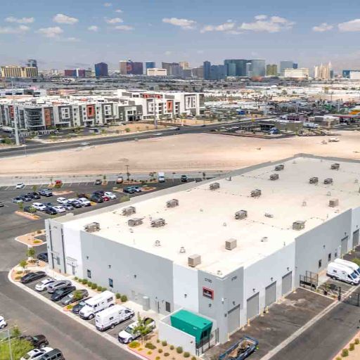
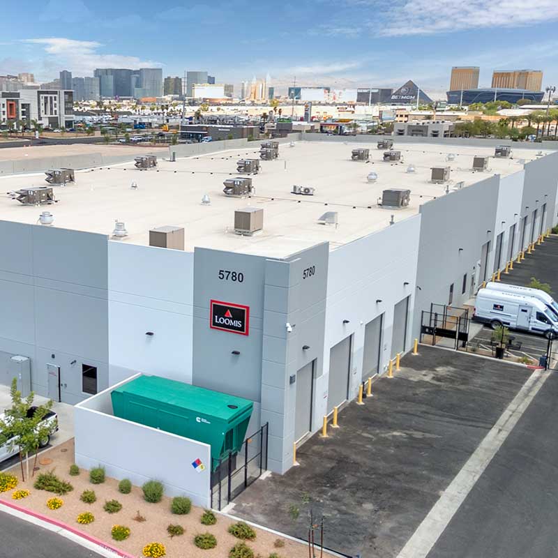
Drone photography is an absolute necessity for industrial real estate. A logistics tenant cannot determine operational feasibility from a ground-level photo of a building facade. Our FAA-licensed corporate capture drone services map out the crucial data points that determine an industrial facility's value: truck ingress/egress, turning radiuses, trailer storage capacity, and staging yard layouts. We capture high-altitude contextual shots to demonstrate the property's relationship to the I-15 freight corridor, the Harry Reid International Airport, and the Apex Industrial Park. Whether you are pitching to a national distributor or a regional manufacturer, our aerial data proves your site has the logistics capability to handle their operations.
- Aerial mapping of truck access, turning radiuses, and traffic flow
- Documenting trailer parking capacity, yard configurations, and outdoor storage
- Topographical views of expansion land and future development potential
- Contextual shots proving proximity to major Nevada freight and logistics corridors
- Critical roof documentation showcasing HVAC, solar, and structural integrity
- High-resolution visuals tailored for REIT pitch decks and capital markets
Industrial Corporate Capture Examples
Why Brokers Choose RCRdigital for Industrial Assets
Las Vegas industrial real estate demands a B2B partner who understands the asset class. Here's why capital markets and top producers trust Rick Rowland:
Commercial Brokerage Experience
With 4 years working directly inside a major commercial brokerage and a decade behind the lens, Rick isn't just a photographer—he understands industrial site logistics, tenant pain points, and how to format data for an OM.
Fast 24-48 Hour Delivery
Industrial markets move aggressively. We deliver professionally edited photos and drone data within 24-48 hours so you can get your LoopNet listings live and your pitch decks distributed immediately.
Platform & OM Optimized
All visual assets are explicitly formatted to meet the rigid specifications of CoStar, LoopNet, and CREXI. We deliver high-res files for print and lightweight files for frictionless web uploads.
Comprehensive Visual Data
We offer highly scalable B2B packages. Combine HDR ground photography with corporate capture drone aerials, Matterport 3D scans, and CAD-compatible floor plans into a single, coordinated site visit.
FAA-Licensed Legal Compliance
Protect your brokerage from liability. We are fully Part 107 FAA certified, meaning we operate legally within the heavily restricted airspace surrounding Las Vegas and Nellis Air Force Base.
Trusted by Top Producers
Top-producing industrial brokers and developers rely on RCRdigital for their multi-million dollar assets. Our reputation for quality, discretion, and reliability makes us the preferred B2B media partner in Vegas.
Las Vegas Industrial Markets We Serve
Providing corporate capture data for properties across all major Southern Nevada logistics corridors.
I-15 Logistics Corridor
Major distribution and warehouse facilities
Henderson Industrial Park
Growing industrial and value-add logistics markets
North Las Vegas Industrial
Massive manufacturing and Apex distribution complexes
Sloan Industrial Corridor
Strategic logistics and warehouse locations
Enterprise Industrial
Modern industrial, showroom, and flex spaces
All Las Vegas Valley
Serving all industrial markets and property types
Frequently Asked Questions
Common questions regarding our corporate capture and industrial photography services
What types of industrial properties do you photograph?
We photograph all commercial industrial property types including Class A distribution centers with modern specifications, established warehouses for regional distribution, manufacturing facilities with heavy power, flex warehouse spaces combining warehouse and office components, cold storage facilities, outdoor storage yards, and vacant industrial land. Each property type requires different photography approaches—distribution centers need clear height emphasis and dock door counts, while flex warehouses need both warehouse and office area coverage. Rick tailors his approach to each property's operational characteristics to target specific tenant requirements.
How does drone photography benefit industrial property marketing?
Corporate capture drone photography is critical for industrial properties because site logistics directly impact operational efficiency. Aerial photography captures truck turning radii, trailer parking capacity, dock door positioning, truck court configurations, and freeway proximity. For logistics tenants evaluating multiple facilities, drone photography provides objective site analysis they cannot get from ground-level photos. It is often the deciding visual factor between competing properties.
Can you photograph occupied industrial facilities without disrupting operations?
Yes! We regularly photograph occupied warehouses and distribution centers, coordinating carefully with property managers to minimize operational disruption. We schedule shoots during off-shift hours or when operations are minimal, and we focus on areas not actively in use. Our professional approach ensures high-quality structural photography while respecting 24/7 logistics operations and tenant productivity requirements.
Do you provide specification documentation photography?
Yes. This specialized photography captures clear height measurements, visual documentation of column spacing, loading dock specifications, truck court dimensions, and electrical service infrastructure. This documentation helps brokers populate Offering Memorandums with accurate visual data and helps prospective tenants verify facility capabilities before committing to physical site visits.
What file formats do you deliver for LoopNet and CoStar industrial listings?
We deliver multiple formats optimized specifically for commercial platforms: high-resolution JPG files for premium listings and Offering Memorandums, and web-optimized versions formatted for fast loading. All files are organized and labeled by area (exterior, warehouse floor, loading docks, office, aerials) to save your marketing team time. All images include unlimited usage rights with no watermarks.
Do you offer Matterport 3D tours for industrial properties?
Absolutely. Matterport 3D virtual tours are increasingly important for industrial properties when marketing to out-of-state distributors who cannot visit Las Vegas facilities in person. 3D tours allow remote operational assessment, showcase spatial relationships, and provide accurate measurements for equipment and racking layout planning. It serves as an incredible tool for tenant due diligence.
What's your turnaround time for industrial property photography?
Standard turnaround is 24-48 hours for most commercial industrial projects. Basic photography typically delivers within 24 hours, while comprehensive packages including drone aerials and 3D tours usually require 48 hours depending on scope. Rush service is available for urgent listings when industrial facilities become available unexpectedly and need to hit the market immediately.
How much does commercial industrial property photography cost?
RCRdigital's commercial industrial photography begins at $125 and is customized based on facility size, requested services, and shoot complexity. Pricing is determined more by operational complexity than square footage alone—a 50,000 sq ft distribution center with cross-dock operations may require more coverage than a 100,000 sq ft open warehouse space. Supplementary services like drone aerials or Matterport 3D tours receive discounted pricing when bundled. Contact RCRdigital for a complimentary, itemized B2B proposal.
Ready to Dominate the Industrial Market?
The Las Vegas industrial market demands corporate capture data that attracts institutional tenants and maximizes lease rates. Whether you are marketing a massive distribution center, a heavy manufacturing facility, or a flex warehouse space, RCRdigital delivers the high-value visual assets you need to close the deal.
Contact Rick Rowland today for a free consultation and customized quote tailored to your industrial asset.