In the fast-paced commercial construction sector of the Las Vegas Valley, mitigating liability and ensuring accurate project tracking are no longer optional. General contractors, developers, and enterprise buyers are moving well beyond simple progress photos, demanding robust, data-driven visual assets. Corporate capture drone surveys have emerged as the definitive tool for proactive risk management, regulatory compliance, and financial verification.
The Critical Role of Aerial Data in Site Selection
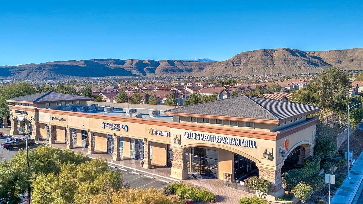
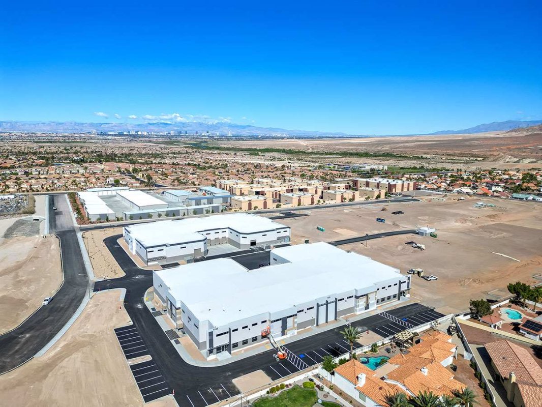
Before a single piece of heavy machinery arrives on site, absolute spatial awareness is crucial. Corporate capture aerial photography provides developers with high-resolution, comprehensive overviews of potential commercial build sites. This operational data is vital for assessing topographical nuances, evaluating surrounding infrastructure access, and presenting undeniable visual evidence to stakeholders, investors, and zoning boards.
Streamlining AIA Draw Requests and Financial Verification
One of the most significant points of friction—and liability—in commercial construction is the monthly billing cycle. Validating AIA G702 and G703 payment applications requires transparent, irrefutable proof of progress.
High-definition drone surveys deliver exact, timestamped visual documentation of current site conditions. This level of data transparency serves multiple critical functions:
- Accelerates Approvals: Gives lenders and stakeholders the confidence to approve multi-million dollar draw requests without delay.
- Dispute Resolution: Provides an objective historical record that prevents costly disagreements between sub-contractors, general contractors, and developers.
- Cash Flow Protection: Keeps the project's financial momentum uninterrupted by eliminating ambiguity from the reporting process.
Navigating Las Vegas Airspace: LAANC Authorizations and B2B Compliance
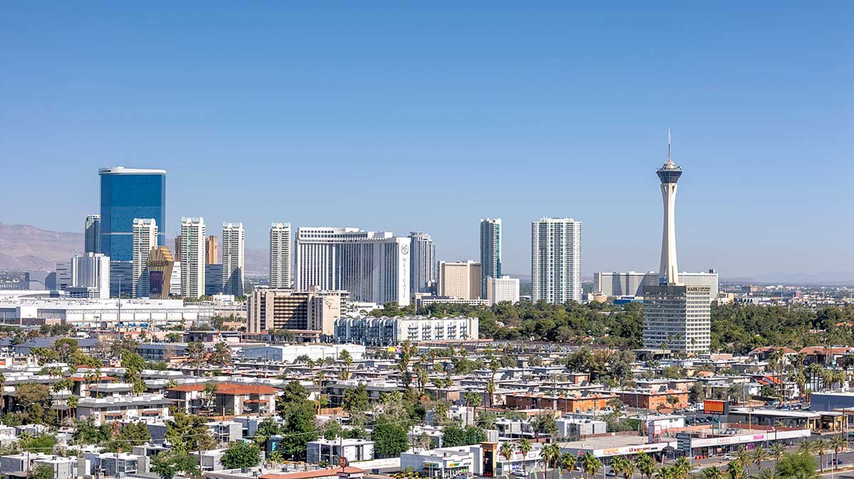
The Las Vegas Valley features some of the most complex, heavily restricted, and closely monitored airspace in the United States. Commercial zones frequently intersect with the controlled airspace of Harry Reid International Airport, Nellis Air Force Base, and Henderson Executive Airport. Operating a drone for commercial data capture in these zero-tolerance zones requires strict adherence to federal aviation regulations.
This is where operational authority transitions into a severe liability safeguard. Attempting corporate capture without the proper clearances exposes entire projects to heavy FAA penalties, insurance voids, and immediate work stoppages. Navigating these complex grids requires deep operational knowledge and the ability to secure rapid LAANC (Low Altitude Authorization and Notification Capability) authorizations.
The RCRdigital Operational Advantage
When enterprise buyers and commercial developers need absolute certainty, they partner with verified operational authority. I am Rick Rowland, an FAA Part 107 Licensed Pilot and the lead operator at RCRdigital. With over a decade of visual marketing expertise and technical flight operations in Nevada, I ensure that every corporate capture mission is executed flawlessly, safely, and entirely within federal compliance.
At RCRdigital, we do not simply fly drones; we engineer B2B liability mitigation. By integrating strict regulatory compliance, precision flight mapping, and rapid data delivery, RCRdigital operates as the premier aerial data partner for commercial construction and enterprise site selection in Las Vegas. Contact me today for a free no obligation quote.