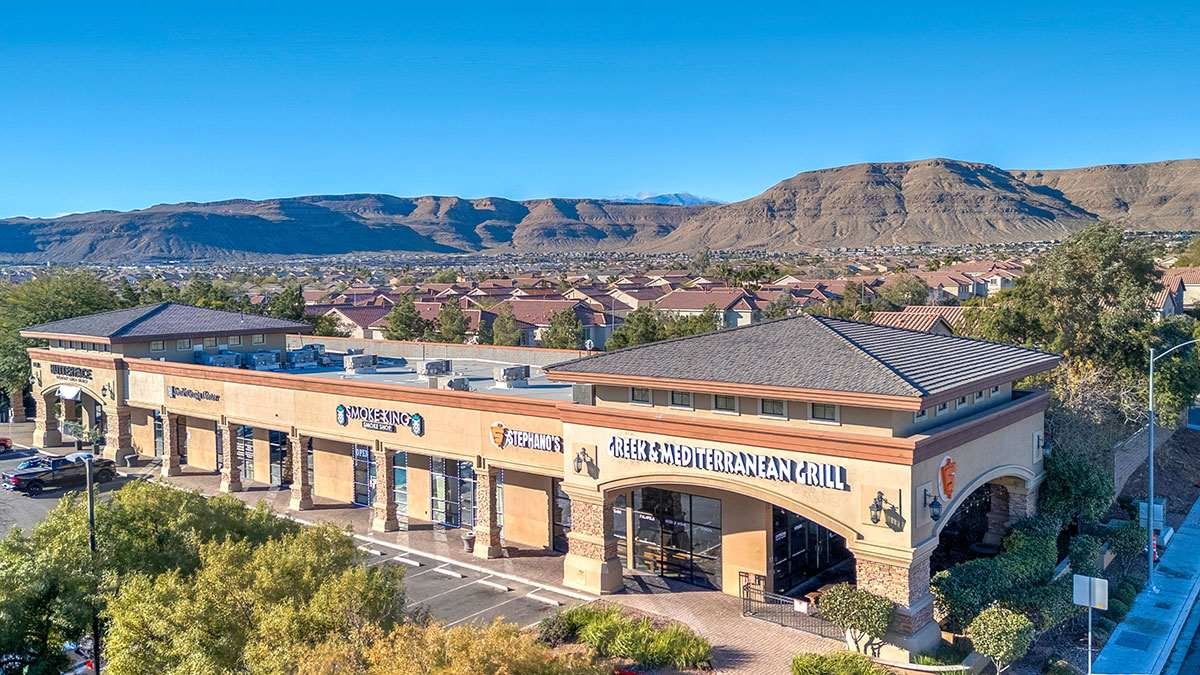
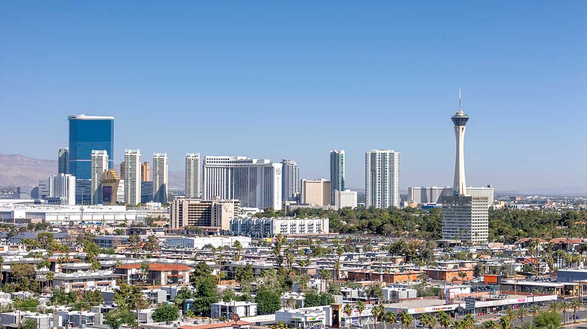
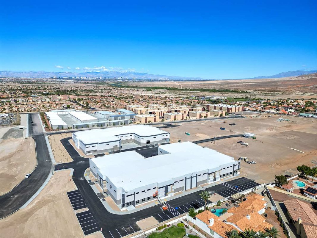
How General Contractors Use Drone Photography for AIA Draw Requests in Nevada
Learn how Las Vegas General Contractors use FAA-licensed drone photography to provide objective visual data for AIA draw requests, securing faster lender funding.
4 posts
Learn how Las Vegas General Contractors use FAA-licensed drone photography to provide objective visual data for AIA draw requests, securing faster lender funding.
What exactly is 'corporate capture' in commercial real estate? Discover why top developers, REITs, and out-of-state investors rely on FAA-licensed aerial drone photography to evaluate Las Vegas properties, market vacant land, and completely mitigate corporate liability.
In the 123-million-square-foot Las Vegas retail market of 2026, proximity is everything. This post explores how commercial brokers use professional drone photography to showcase site ingress/egress, parking capacity, and visibility from high-traffic corridors like the I-15 and the Strip. Learn how aerial visuals drive 49% more qualified leads and help close retail deals up to 75% faster by providing the data-driven context that remote investors and national brands demand.
In the high-stakes Las Vegas commercial real estate market, aerial visuals are a game-changer. This guide explores essential tips for drone photography, from navigating FAA regulations near Harry Reid International Airport to mastering "golden hour" lighting for industrial and retail spaces. Learn how to combine expert composition with professional post-processing to create compelling property narratives that attract premium investors and close deals faster in Southern Nevada.