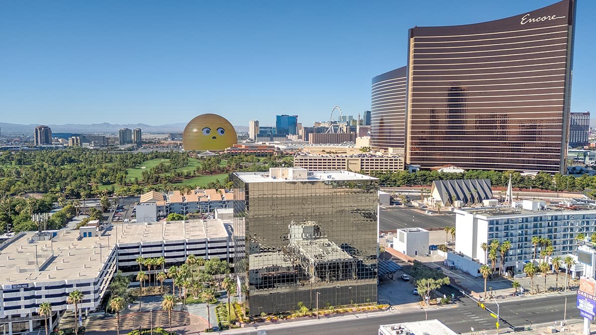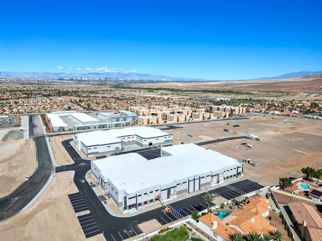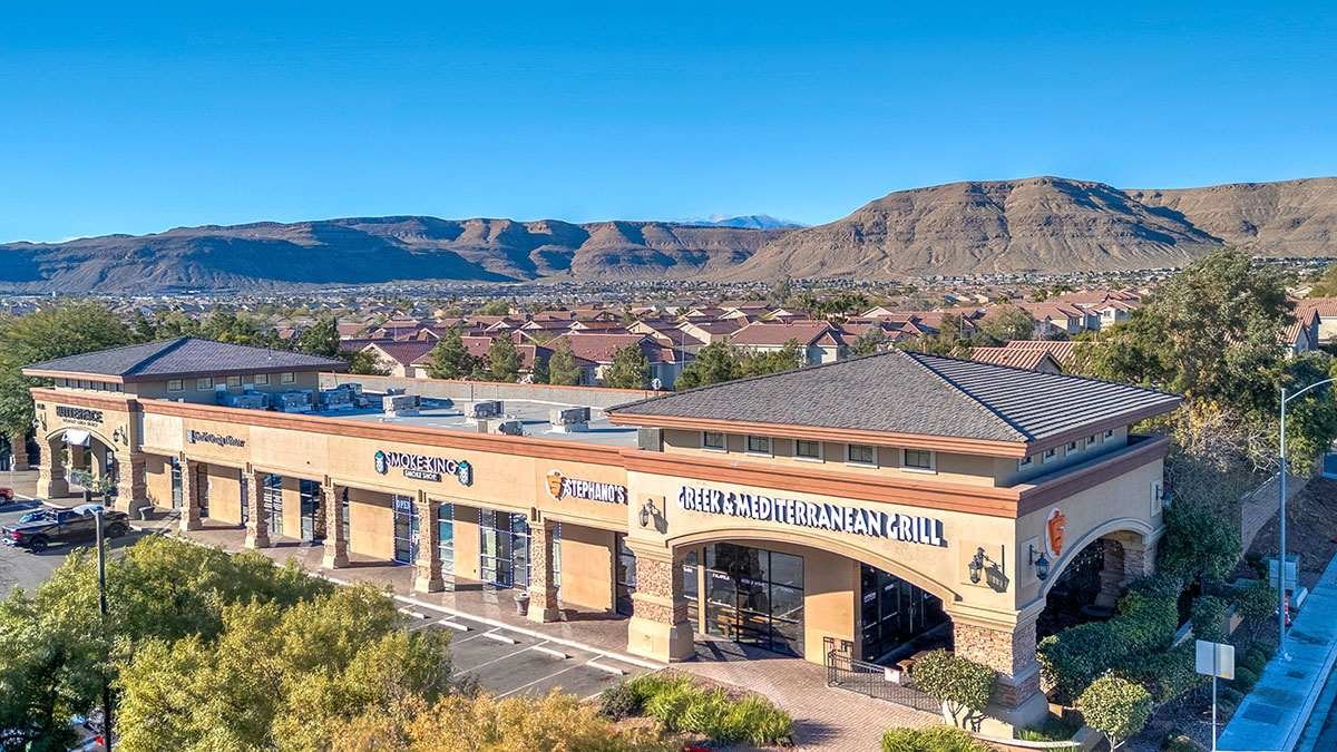
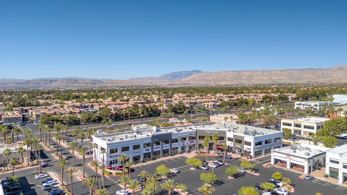
In the modern commercial real estate ecosystem, evaluating multi-million dollar assets in the Las Vegas Valley requires far more than standard marketing images. Out-of-state developers, institutional real estate investment trusts (REITs), and private equity groups demand precise, actionable visual intelligence to conduct remote due diligence before committing capital. Executing corporate capture commercial real estate aerial drone photography and video has become the definitive benchmark for enterprise site selection and asset evaluation.
De-Risking Commercial Acquisitions with Precision Aerial Photography
When institutional capital evaluates industrial tilt-up facilities in North Las Vegas or prime commercial land parcels in Henderson, visual data functions as a primary risk mitigation tool. High-altitude aerial drone photography and cinematic drone video provide a comprehensive spatial perspective that traditional ground photography cannot replicate.
By leveraging specialized flight paths and high-resolution cameras, corporate capture drone photography delivers critical visual context required by acquisition and executive teams:
- Ingress & Egress Evaluation: Visualizing truck turn radii, freight loading dock access, and arterial highway connectivity.
- Topographical and Boundary Context: Showcasing lot coverage, adjacent commercial density, and setback compliance across adjacent parcels.
- Roof and Structural Infrastructure Inspection: Documenting HVAC mechanical systems, roof membrane conditions, and solar array allocations visually without risking personnel safety.
Navigating Restricted Airspace in Southern Nevada
The commercial corridors of Las Vegas exist within a highly complex federal aviation environment. Class B and Class D airspaces surrounding Harry Reid International Airport, Henderson Executive Airport, and Nellis Air Force Base impose strict altitude limits and zero-tolerance flight restrictions. Executing commercial aerial drone photography and video without federal authorization exposes asset managers and developers to severe FAA fines and project delays.
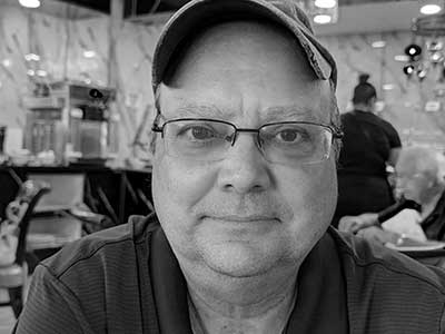
Operating safely and legally in controlled airspace requires established operational protocols. I am Rick Rowland, an FAA Part 107 Licensed Commercial Drone Pilot and the founder of RCRdigital. With over a decade of local market expertise, I hold active LAANC (Low Altitude Authorization and Notification Capability) authorizations across every commercial grid in Southern Nevada, guaranteeing that every flight mission executed by RCRdigital is 100% compliant and fully insured.
Partnering with RCRdigital for Enterprise Site Verification
When out-of-state equity partners or local commercial brokerages need verified visual proof to close an Offering Memorandum or approve site selection, they rely on true visual authority. RCRdigital delivers stunning, high-resolution aerial photography and drone video formatted specifically for institutional pitch decks, executive reviews, and commercial listings. Contact Rick Rowland at RCRdigital today to schedule your corporate capture drone photography and video session.